About MTB-O
MTB Orienteering is a relatively young sport in Sweden, even though it has been around for a long time in Denmark, the Czech Republic, Austria and other European countries. MTBO is all about high speed and making quick decisions about the right choice of route.

The map
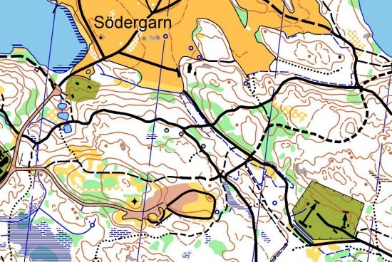
The map is similar to the one used in FootO. The biggest difference is how the paths and roads are presented. The possible riding speed on roads and paths are indicated by dash lengths, where longer dashes on the map corresponds to the ability to bike at higher speeds.

Above you can see a map where the solid, dashed or dotted black lines indicate the possible riding speed in % relative to asphalt road. Solid black lines are 70-100 % and dotted 25 %.
The bike
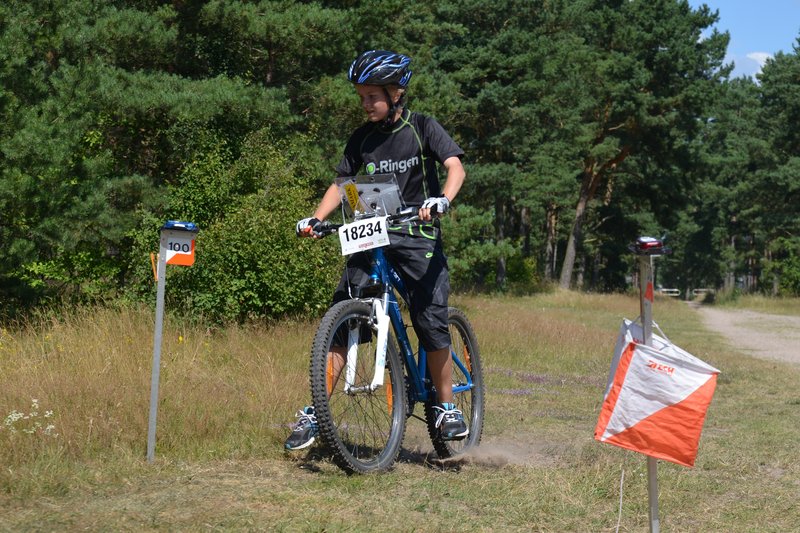
The bikes used in MTBO are mountain bikes.
Map holder
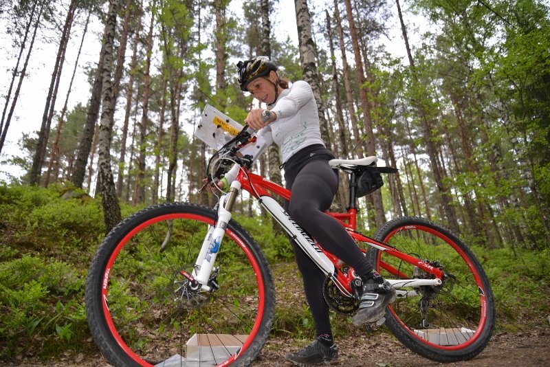
The map is placed in a specific map holder attached to the bike handlebar to enable map reading while cycling. The Swedish National Team collaborates with the map holder manufacturer Nordenmark to produce the world’s best map holders.
Clothing
The clothing is the same as for regular cyclists, i.e., padded trousers and cycling jersey. Within MTBO, there is no requirements of fully covered legs.

The courses
In mountain bike orienteering, a number of controls must be visited with the help of a bike and a map. The most common is that you have a course with controls that needs to be punched in numerical order. However, there are other forms and in one of them you are supposed to visit a certain number of controls but in any order preferred by the athlete.
Distances
The guidelines for estimated winning times in senior class of MTBO are as follows.
- Long distance: 105-115 minutes
- Middle distance: 50-55 minutes
- Sprint distance: 20-25 minutes
- Relay: 45-50 minutes (for each leg)
- Sprint relay: 12-15 minutes (for each leg)